
SDG COUNTIES, Ontario - Both of the conservation authorities that operate in our region have issued flood outlook statements.
SOUTH NATION CONSERVATION
South Nation Conservation Authority this week advised that warmer temperatures and forecasted rain will mark the beginning of the spring freshet which will result in quickly rising river water levels and unsafe conditions.
Environment Canada is forecasting sustained above-zero temperatures starting March 6. Daytime temperatures are expected to reach up to 15C in some areas leading to snowmelt. Warmer temperatures will likely be accompanied by rainfall, with total rainfall amounts approaching up to 25 mm by March 7. The extended forecast shows a continued warming period with the potential for an additional 50 to 80 mm from March 10 to 13.
Snowpack and snow water equivalent across the South Nation Conservation jurisdiction are slightly above normal for this time of year, while ice thickness on rivers across the jurisdiction are mostly below normal. River water levels are currently on the low side of the normal seasonal range, creating capacity in local river systems.
It is anticipated that by March 7 snowmelt and rainfall will result in increased river water levels and fast flowing water. Considering the forecast, the SNC flood forecast model predicts that water levels will peak on March 13, resulting in flooding of low-lying areas, floodplains, and areas with poor drainage. Widespread flooding is not anticipated at this time; however, this can quickly change depending on the amount and intensity of rainfall received.
Rivers across the jurisdiction will see higher water levels, fast flowing water and slippery or unstable banks. Additionally, these conditions elevate the risk for ice breakup and ice jams at bridges, culverts and other areas producing localized flooding concerns in low lying areas.
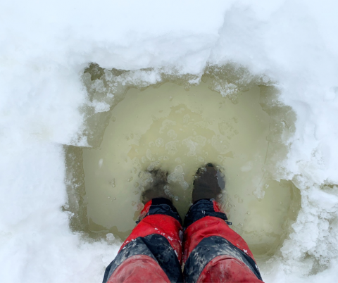
Residents are advised to exercise extreme caution when near rivers and waterbodies due to increasing river flows and slippery conditions. Any ice-covered bodies of water are considered unsafe. Parents are encouraged to explain these dangers to their children.
The timing and amount of rainfall received will determine the extent of flooding. Residents in flood prone or low-lying areas, historically susceptible to flooding, should take the necessary precautions to protect their property.
Please ensure:
Sump pump is clear, in good working condition and has a backwater valve on it.
Easy access to portable backup generator and pump.
Downspouts are clear and the outlet is at least 3 m from the dwelling.
Driveway culverts are clear of debris and drain well.
Securing items that might float away as flows increase.
This flood outlook statement is in effect until March 9 at 5 p.m. or until an update has been issued.
SNC monitors the water levels and weather forecasts as part of the Flood Forecasting and Warning Program. Updates are provided as conditions change.
RAISIN REGION CONSERVATION AUTHORITY
The Raisin Region Conservation Authority (RRCA) is issuing a Watershed Conditions Statement – Flood Outlook for the RRCA jurisdiction. A Flood Outlook is issued to provide early notice of the potential for flooding based on weather forecasts calling for heavy rain.
Weather Forecast: Environment Canada is forecasting sustained above-zero temperatures beginning March 6. Daytime highs may reach up to 15C in some areas, which is expected to accelerate snowmelt.
The warmer conditions will likely be accompanied by rainfall, with totals of up to 20 mm possible by March 8. The extended forecast also indicates a continued warming trend, with the potential for an additional 20 mm of rainfall between March 10 and 13.
Environmental Conditions: Current water levels are at normal for this time of year in the RRCA jurisdiction. The anticipated rainfall and warm temperature beginning this weekend is expected to result in increased water levels and flows in the rivers.
Risks: All rivers and streams across the jurisdiction may experience high water levels, fast flowing water and slippery or unstable banks. Flooding is possible in low lying areas.
In North Glengarry: High risk of water backing up in areas typically susceptible to spring flooding downstream of Mill Pond. The water levels of Loch Garry, Middle Lake, and Mill Pond are being actively managed. Sudden increases in dam outflow may be necessary under the forecast weather conditions.
Residents in areas regularly affected by spring flooding should take precautions to protect their property, such as:
Securing items that might float away as flows increase.
Removing items from sheds, garages, basements, or lower floors that could be subject to flooding.
Ensuring sump pump is clear, in good working condition, and has a backwater valve.
Ensuring easy access to a portable backup generator and pump.
This statement is in effect until Friday March 13, at 1 p.m. The RRCA will continue monitoring water levels and weather forecasts as part of the Flood Forecasting and Warning program. Updates will be provided as conditions change.