
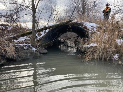
SDG COUNTIES, Ontario - The Raisin Region Conservation Authority (RRCA) is inviting landowners with property adjacent to the Eastman Drain in South Stormont and Cornwall to attend a virtual public information centre (PIC) to learn about updated and improved regulatory mapping (flood hazard) for the watercourse. The PIC will take place online on April 10, 2024, from 5 to 6 p.m.
“The flood hazard mapping study area spanned from north of Headline Road to southeast of the intersection of McConnell Avenue and South Branch Road,” says RRCA Project Manager, Laura Grant. “The new maps identify the floodplain for a one percent annual exceedance probability, also known as a 100-year flood event.”
The virtual PIC gives residents living near or within the flood hazard area the opportunity to view the updated maps to better understand the risks and provide feedback. Property owners can join the virtual meeting at rrca.on.ca/EastmanDrain.
“Residents and stakeholders interested in learning more are also welcome to schedule individual meetings with our team from now until April 26,” says Grant.
Under the Conservation Authorities Act, the RRCA reviews development applications near water and wetlands to protect people and property from natural hazards such as flooding and erosion. Flood hazard maps are essential components of these reviews, and the current study will provide up-to-date information on the flood hazard in the area near the Eastman Drain. Flood hazard maps also help inform municipal official plans and zoning schedules.
“It is important to contact the RRCA when considering development projects near water and wetlands, as certain activities require review and approval from the RRCA,” says Grant.
The new flood hazard mapping for the Eastman Drain is the result of a partnership between the RRCA, the United Counties of Stormont, Dundas and Glengarry, the Township of South Stormont, and the City of Cornwall. This project is funded in part by the Government of Canada, the Province of Ontario, and the United Counties of Stormont, Dundas and Glengarry.